The Science Analysis of The National Cohesive Wildland Fire Management Strategy
Navigation
Introduction
National Characterization
Landscape Classes
Community Clusters
Combinations
Challenges and Opportunities
Vegetation and Fuels
Homes, Communities, and Values at Risk
Human-caused Ignitions
Effective and Efficient Wildfire Response
The National Strategy
Risk Tradeoffs
National Guidance
National Priorities
Data
Input Variable Maps
You are here
Home
» WUI Interface (Percent)
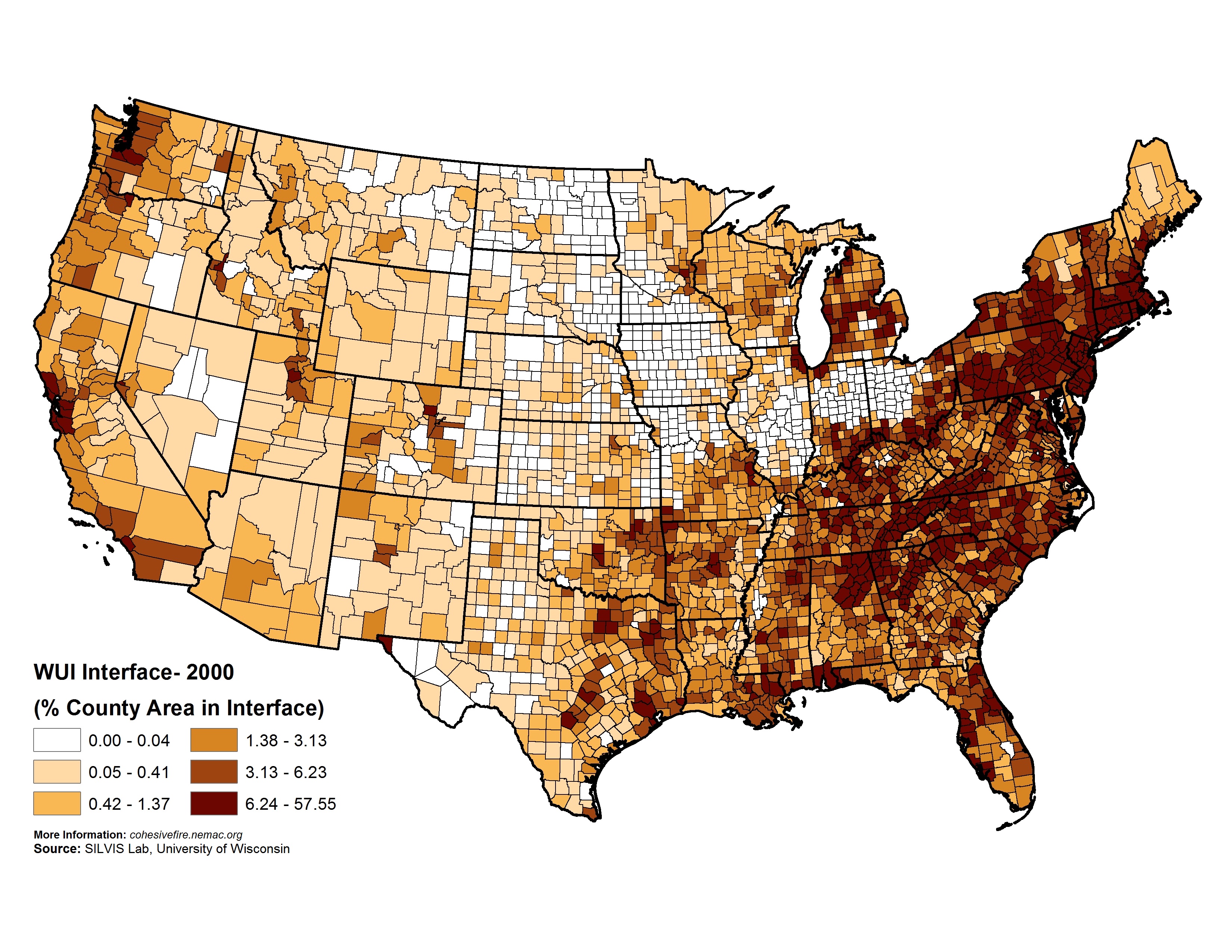
WUI Interface (Percent)
Percent of county area within the WUI interface, based on SILVIS 2000 WUI Statistics.
Source(s):
SILVIS Lab, University of Wisconsin